Paying client
City of Luleå
runs the live layer today, for ice risk and for a heat risk index.
 Platform Book a call
An hourly map of ice risk and cold stress for your whole network, street by street.
Ice forms street by street, not city by city. Crews can go where it forms first.
Road-weather data is a real budget line. The Norwegian Public Roads Administration pays about SEK 1.4M a year for it (2024).
infrared.city prepares the simulations once for your city as a live layer. It shows cold stress and ice risk, computed by a custom pipeline for your own network rather than a city average. The map updates hour by hour, for the coming days.
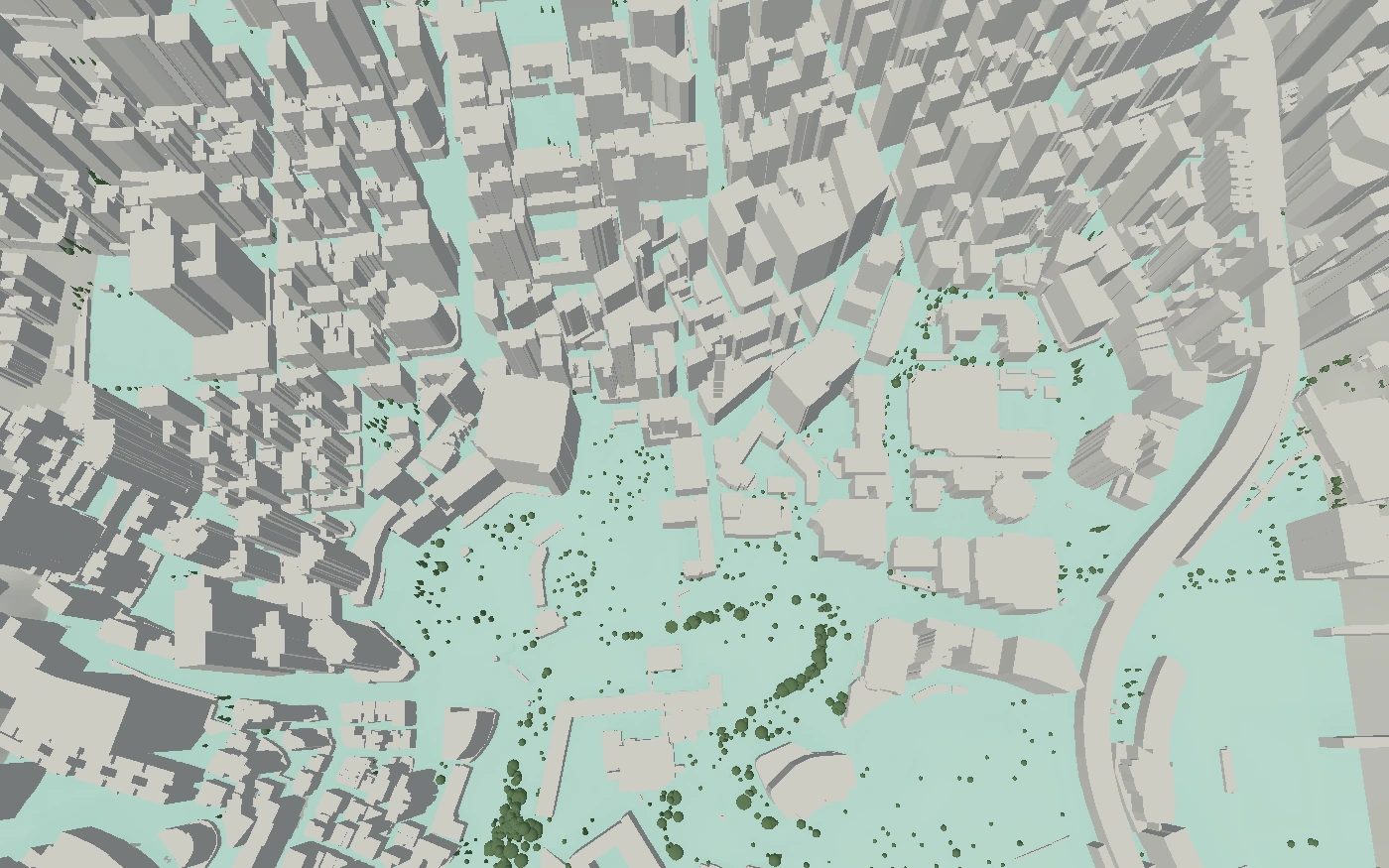
Sources: Norwegian Public Roads Administration, 2024.
Send plough crews to the riskiest streets first. Treat the cycle routes that need it.
runs the live layer today, for ice risk and for a heat risk index.
Funded and supported by