
Press
Boilerplate, fact sheet, logos, images and story angles for journalists.
About infrared.city
infrared.city is a climate simulation engine for cities and buildings. It predicts wind, heat, sun and daylight at street level, at a resolution of 1 metre, in seconds. Infrared City GmbH is a spin-off of the City Intelligence Lab of the Austrian Institute of Technology (AIT). The founders built the engine as research there, and founded the company in Vienna in 2023. Today one engine serves the API and SDK, plugins, a web platform and live climate layers for digital twins of cities. More than 2,500 accounts use it.
Fact sheet
- Company
- Infrared City GmbH (Firmenbuch FN 612069b, Commercial Court of Vienna)
- Founded
- 2023, in Vienna, Austria. A spin-off of the City Intelligence Lab, Austrian Institute of Technology (AIT)
- Headquarters
- Gumpendorferstrasse 91/1/12, 1060 Vienna, Austria
- Product
- One climate simulation engine: API and SDK, plugins, the web platform and live layers for digital twins
- Users
- More than 2,500 accounts. 3.20M+ simulations computed, our own studies and stress tests included
- Speed
- About 5 seconds for 1 km² (geometry already uploaded). 400 km² of Berlin in 44 seconds (four 100 km² runs in parallel; perceived heat (UTCI), one summer day, 1 m, end to end)
- Funding
- Pre-seed round of about €1M in 2023, led by Xista Science Ventures, with 2bX, Antler, Heartfelt and P3A Ventures
- Research
- 16 peer-reviewed papers, 2020 to 2025: the methods behind the engine and their practical application in design and planning
- Founders
- Angelos ChronisCEO & Co-Founder
- Oana TautCPO & Co-Founder
- Theodoros GalanosCSO & Co-Founder
- Serjoscha DüringCTO & Co-Founder
- Funded and supported by
NVIDIA Inception Program (member since 2023), Microsoft for Startups, Austria Wirtschaftsservice (aws), FFG Austrian Research Promotion Agency, Hub71 (Abu Dhabi), EIT Urban Mobility, D²XCEL (European Innovation Council), Amazon Web Services and Leading Cities.
- Recognition
- 2025 Winner, Podim Pitching Competition, Maribor: 141 startups from 23 countries
- 2025 Top 50, QBE AcceliCITY Resilience Challenge
- 2024 Winner, #glaubandich Challenge: Vorarlberg city pitch (Dornbirn, sustainability category); finalist at the Vienna final









Story angles
- Heat in citiesStreets in the same city can feel very different. The engine shows which streets, squares and facades get the most heat and the most sun, hour by hour.
- The live layer, city by cityHong Kong is the public example: heat-stress forecasts for the next 72 hours, every hour, at metre scale. We prepare your city the same way.
- Street-level heat for eventsReplay a marathon or event route kilometre by kilometre: heat, sun and headwind exposure.
- Checked against field dataWe compare the engine with field measurements of radiant heat (Tmrt) at four sites, two of them held-out, and report the errors next to SOLWEIG, a widely used research model. The results are on the validation page.
For your story
- Validation How the engine compares with field measurements and with SOLWEIG.
- When to use which tool How infrared.city compares with other climate and energy tools.
- Infrared Core The engine: speed, resolution and how it scales to whole cities.
- The live layer Heat-stress forecasts for the next 72 hours, with Hong Kong as the public example.
- Company story From the City Intelligence Lab to a company, with the founders.
- For cities Cities and operations: heat, comfort and safety across a district or a whole city.
- For buildings and architects Design and real estate: compare options early, with heat, wind and sun on the model.
- For software platforms Maps and digital twins that add climate results through the API.
Logos and images
Free to use for coverage of infrared.city. Please keep the credit line with each image.

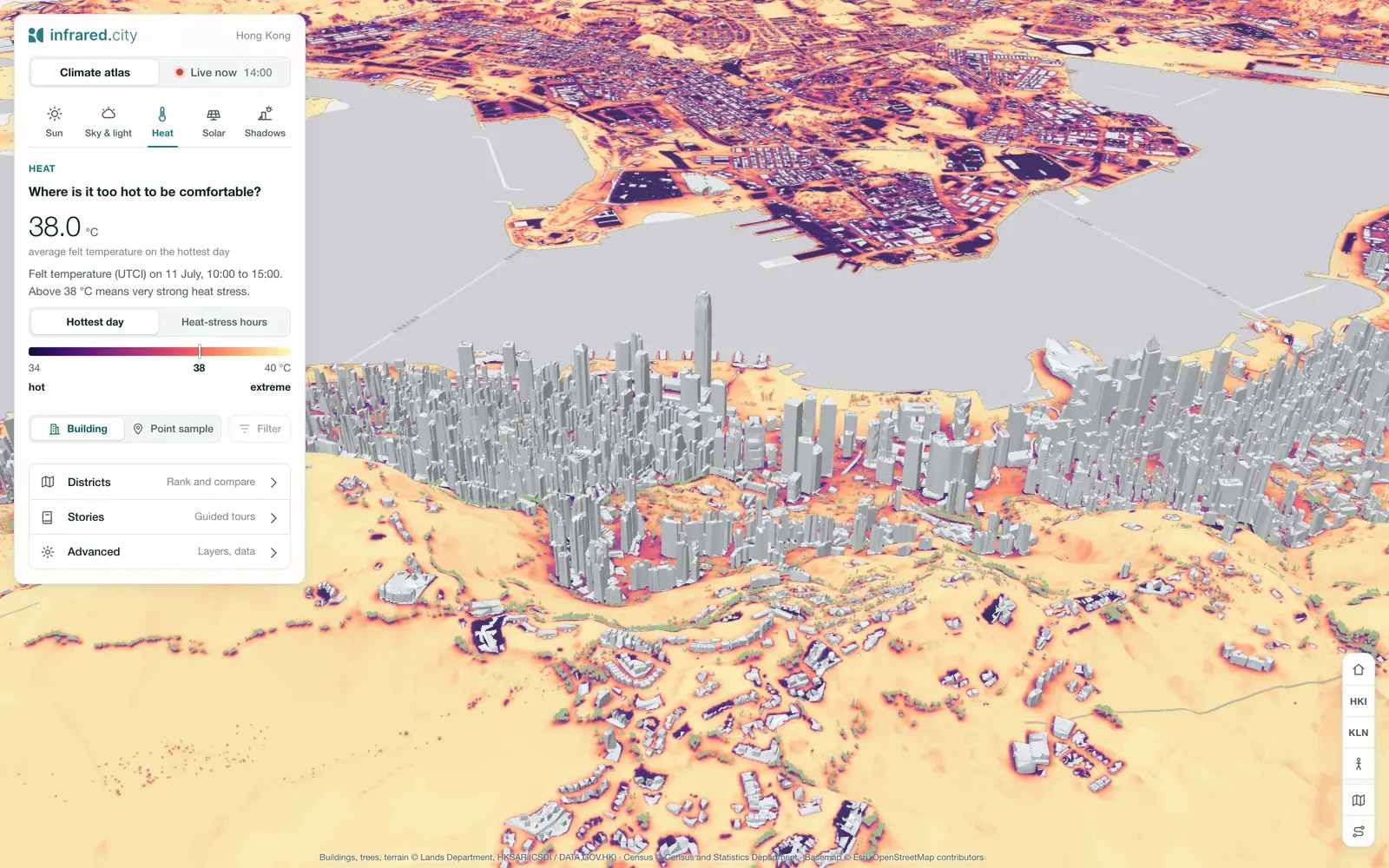
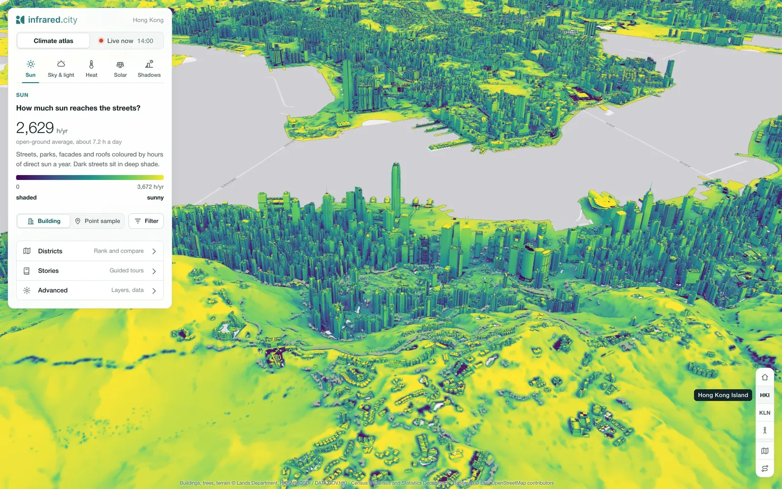
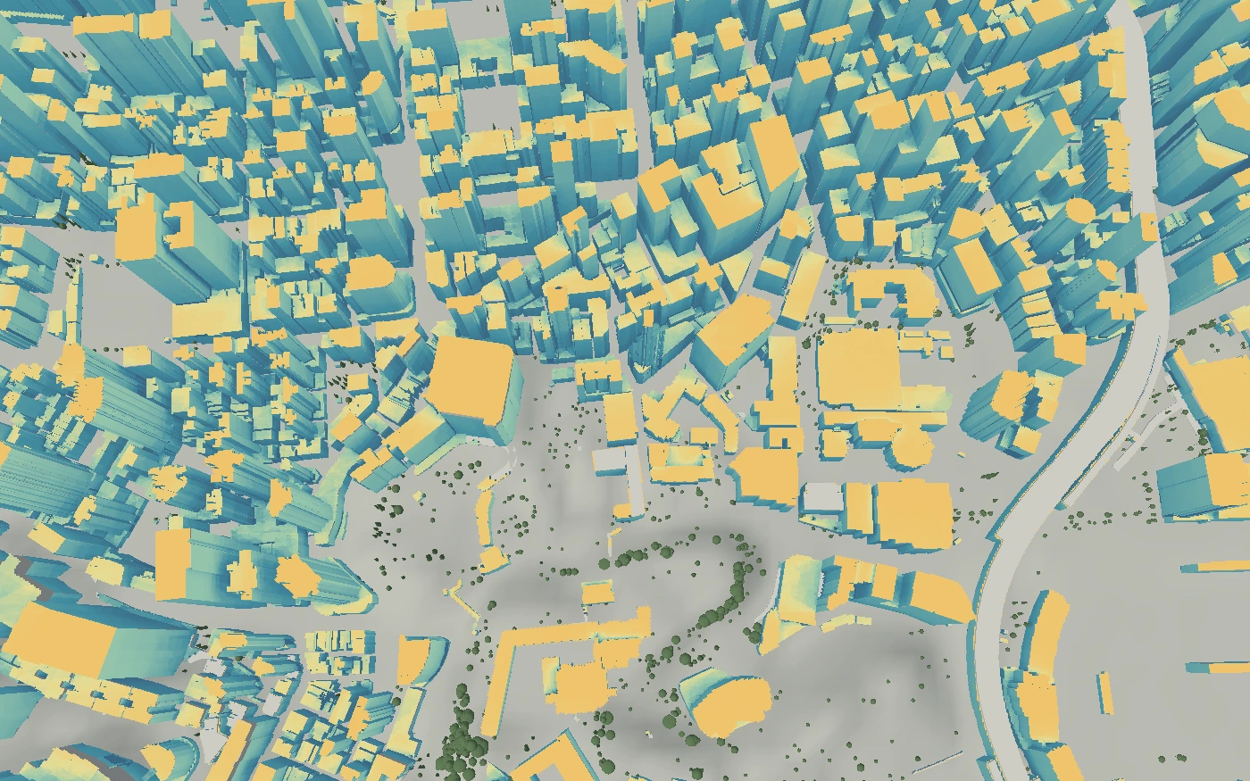
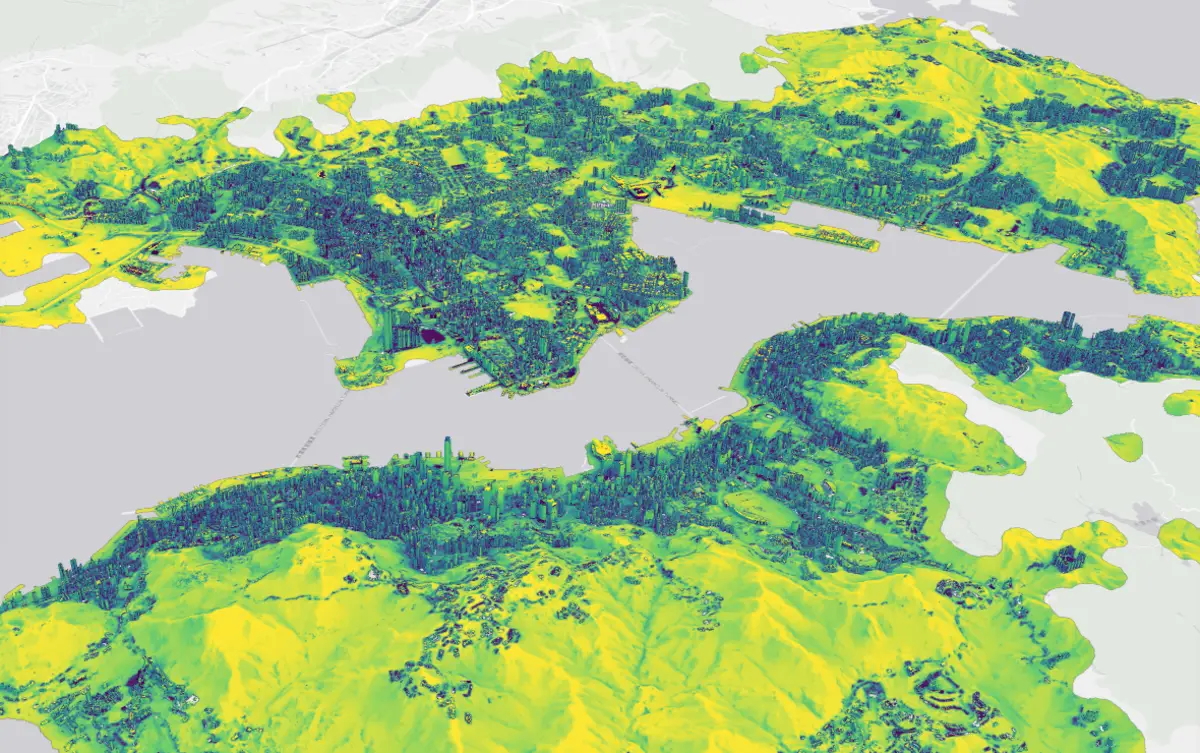
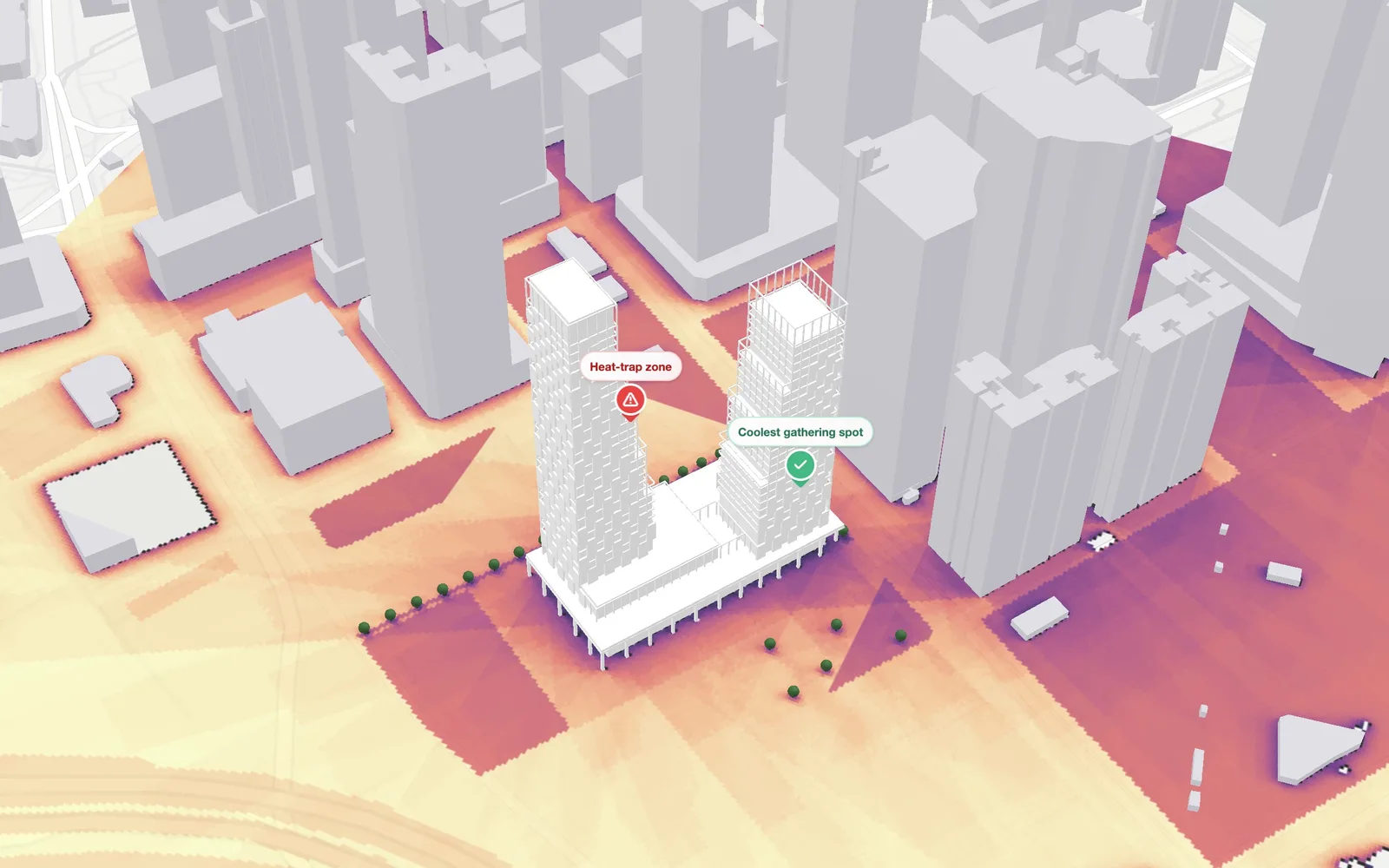
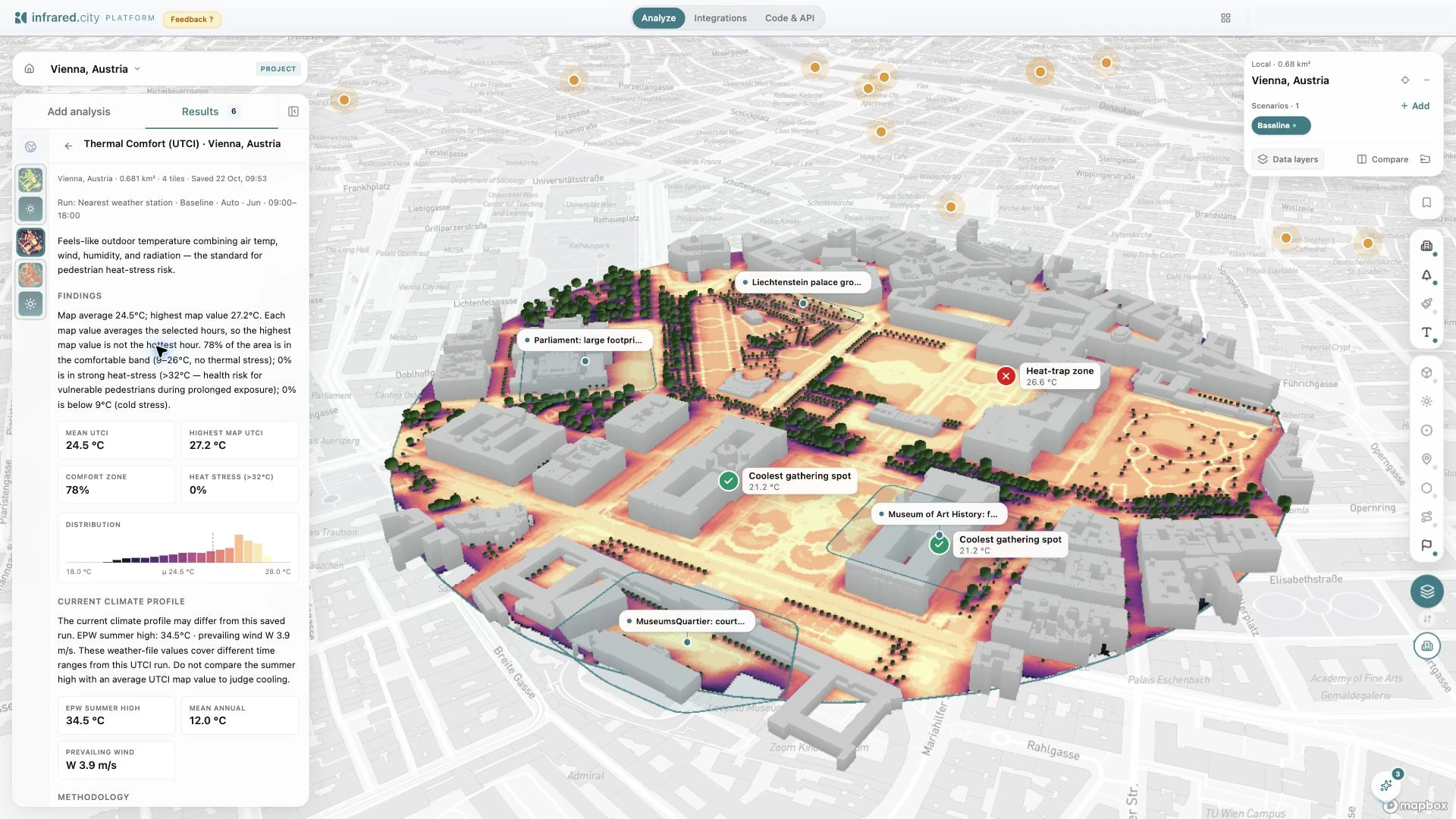
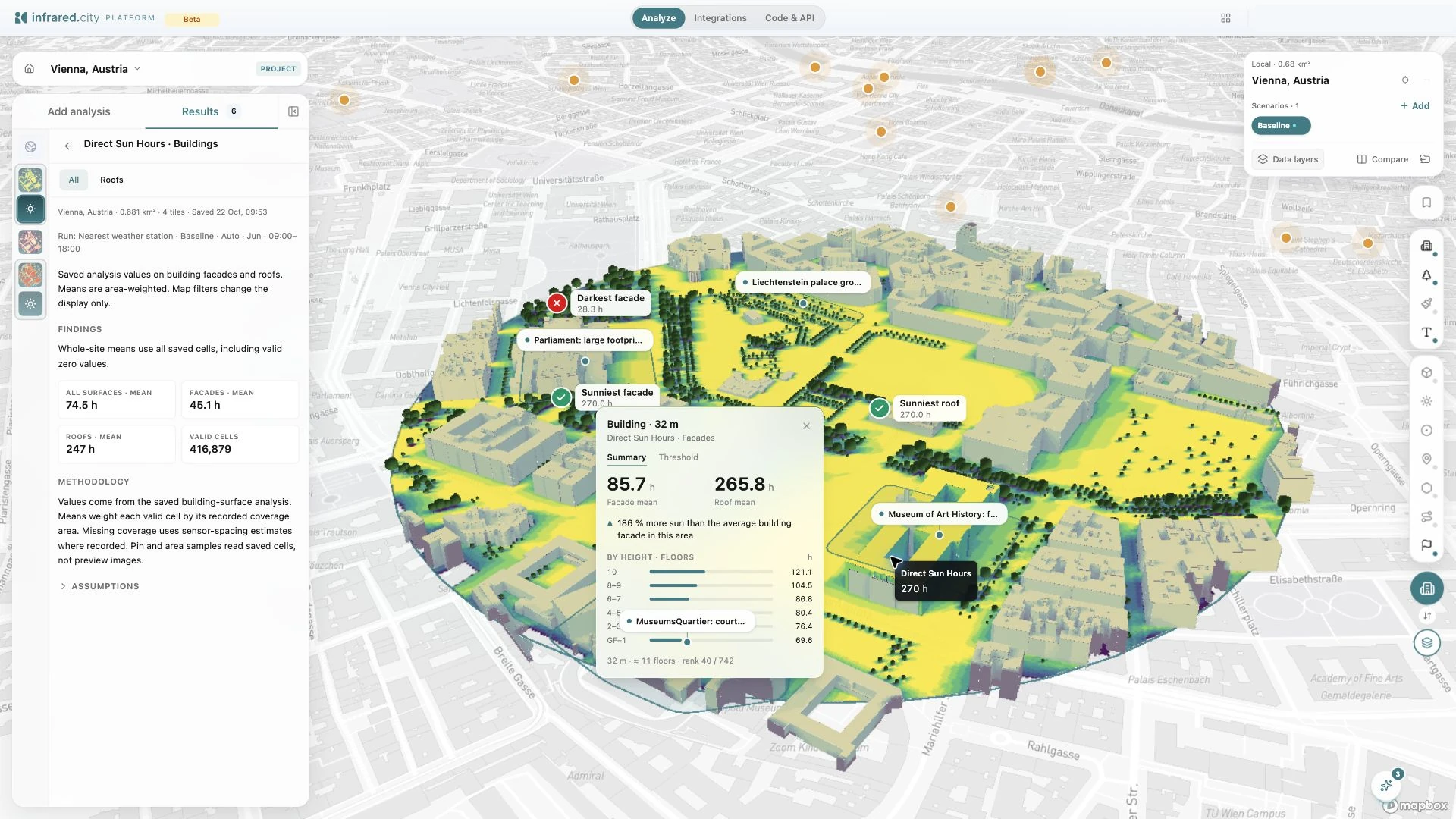
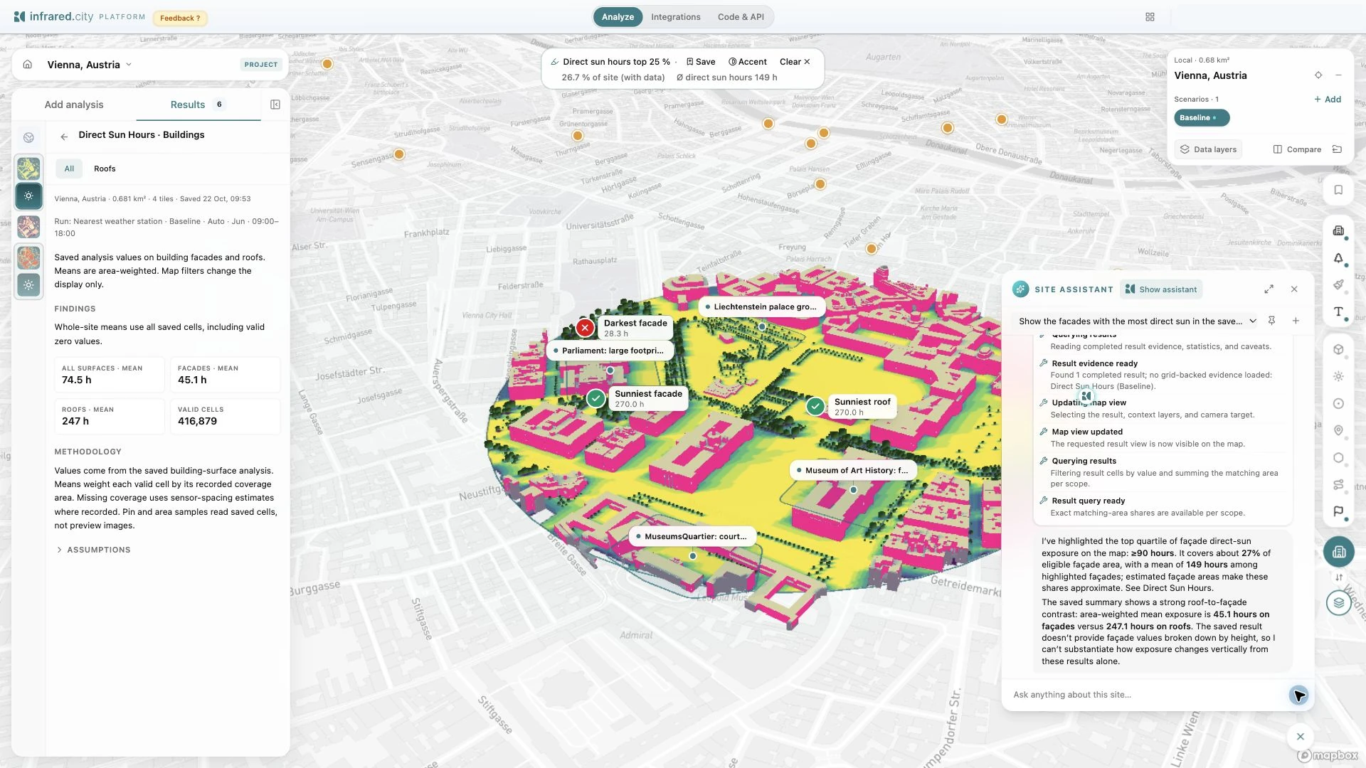
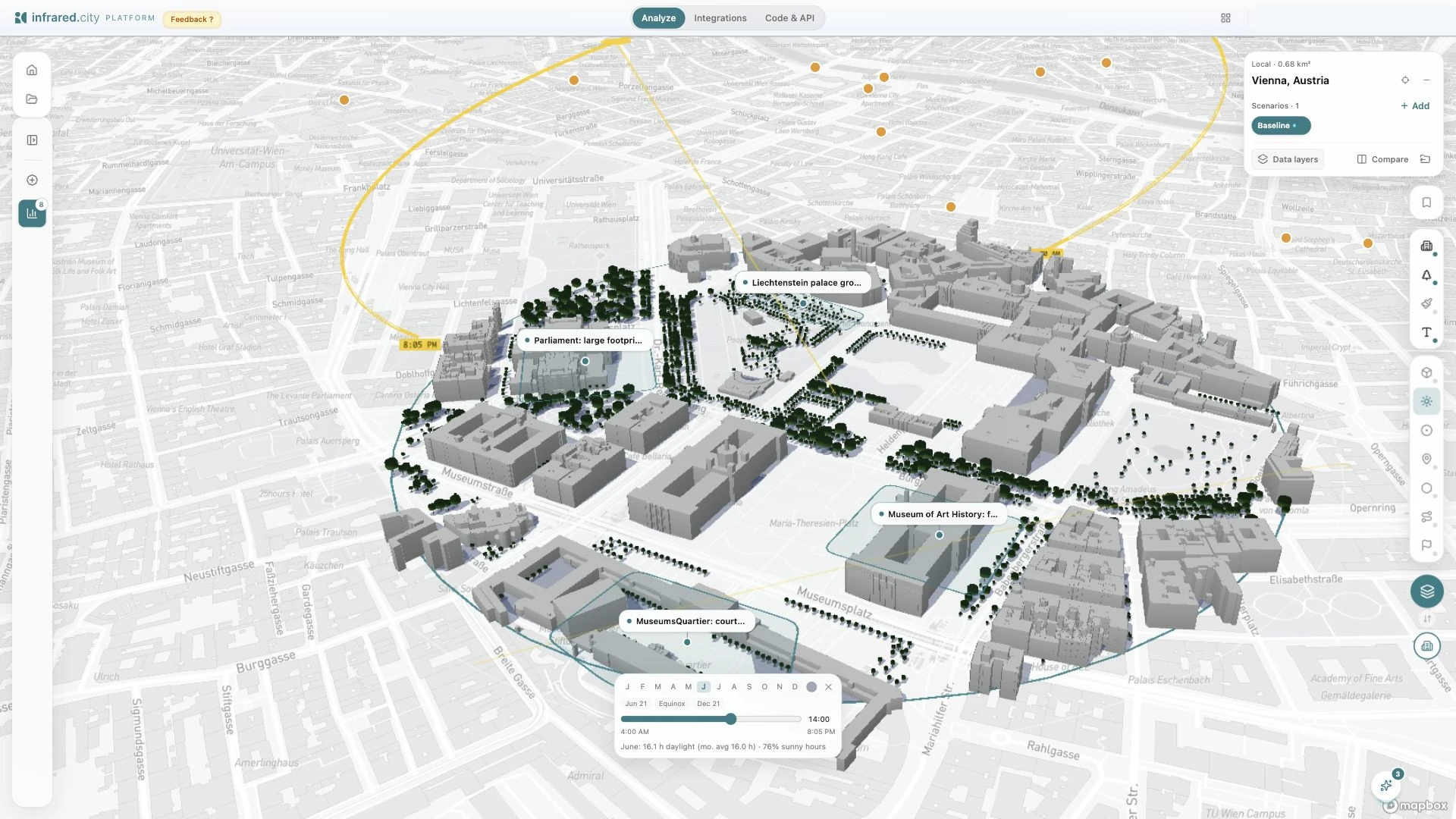
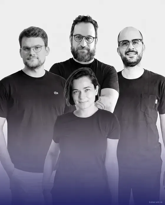
Use our visuals
You are welcome to download the images above. You may also record your own screenshots or videos of the live layer and the platform. Please credit and tag infrared.city, for example "Source: infrared.city", with a link to infrared.city. Keep the data credit where one applies, such as "Buildings, trees and terrain © Lands Department, HKSAR" on Hong Kong images.
Press contact
For interviews, data, high-resolution images and a look at the live layer.
info@infrared.city