The climate simulation enginePhysics simulation and AI surrogate models, fused on a scalable backend. Wind, felt heat, sun and daylight for any site, from one room to a whole city, in seconds.
One engine behind every tool, so every result is comparable.
Infrared Core. One engine for felt heat, wind, sun, solar, daylight and energy, in our cloud or on your servers.
On demand. API and SDK, Grasshopper, QGIS, ArcGIS, the browser platform or your own AI agent.
Live layer. Your city or twin prepared once, about 500x faster, as map tiles and a queryable dataset.
Enterprise readyHosted in the EUYour data stays yoursOn-prem possibleSLA available
A spin-off of the Austrian Institute of Technology, built with our technology partners
Scalable infrastructure
A whole city runs at once
From one room to a whole city: Infrared Core splits any area into tiles,
runs them in parallel in our cloud or on your servers, and merges one
seamless result.
Any size. A block, a district or a whole city, with no fixed limit.
In parallel. 100 km² takes 37 s, not 100 times as long as 1 km².
Reliable. A failed tile is sent again. No holes, no double bill.
Headless. Ready for AI agents: they call the same API and read the results.
REST API
Python and TypeScript SDK
AI agent skill
3D Tiles and GeoTIFF
From a room to the whole city
We run it in the cloud, at every scale. The same engine gives daylight
in a room, sun on each facade, heat in a street and a map of a whole
territory.
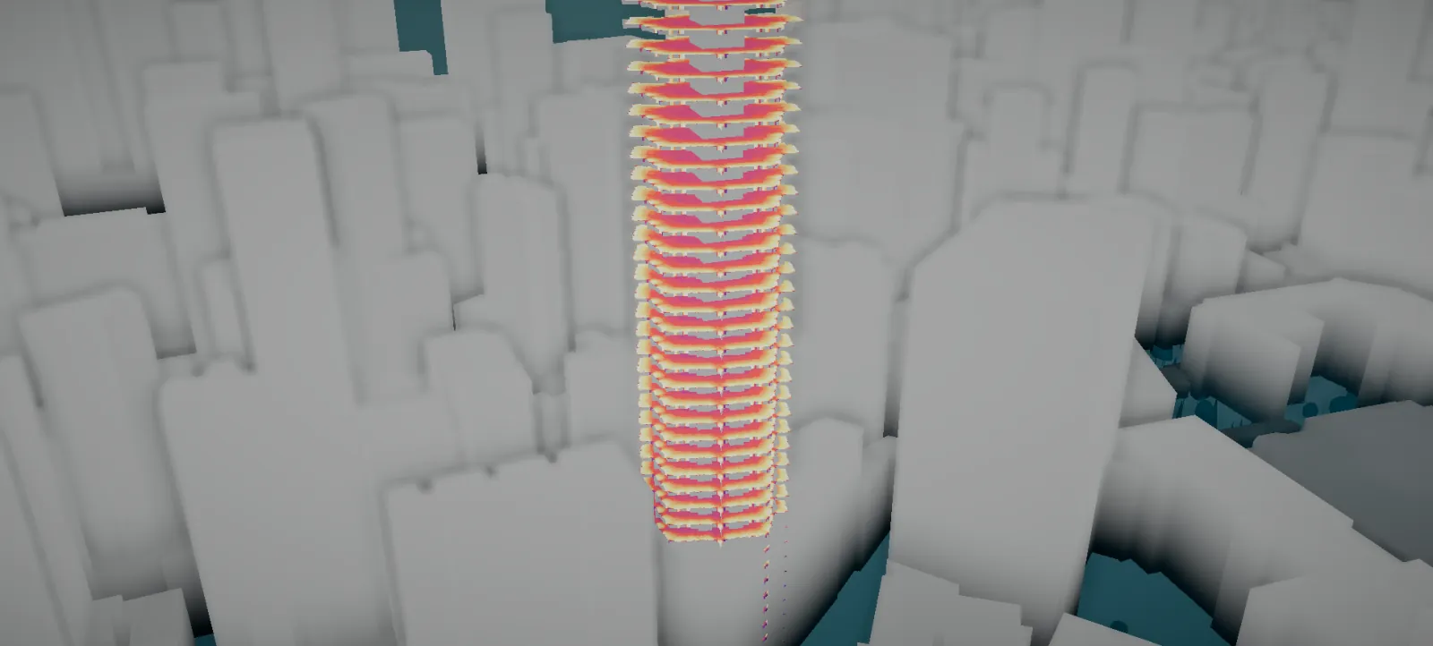
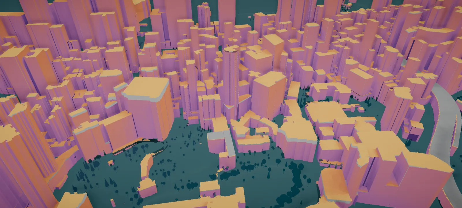
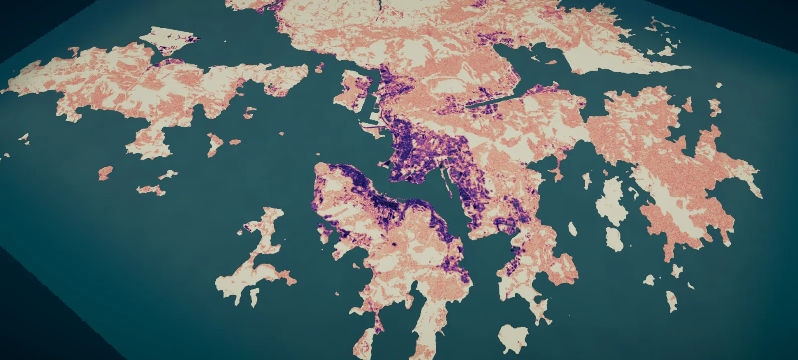
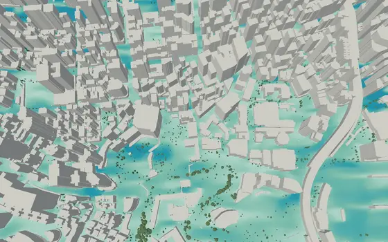
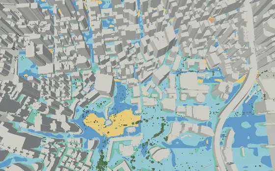
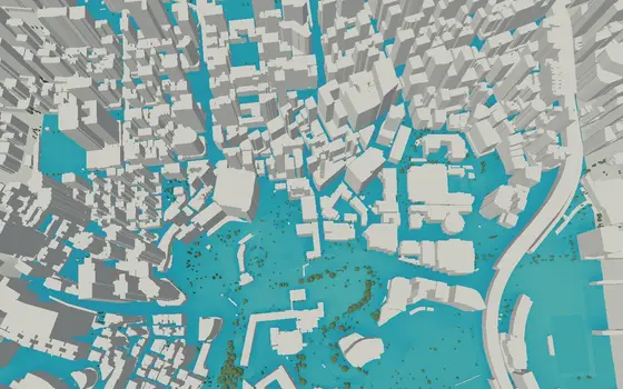
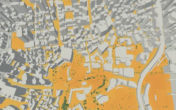
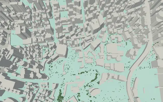
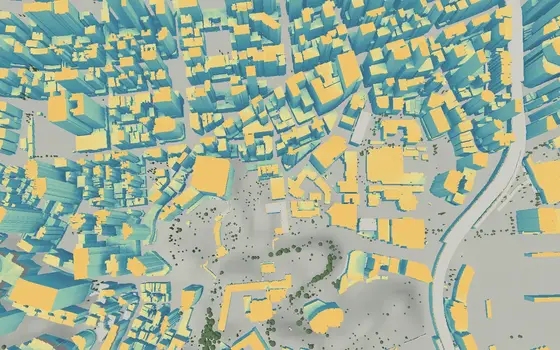
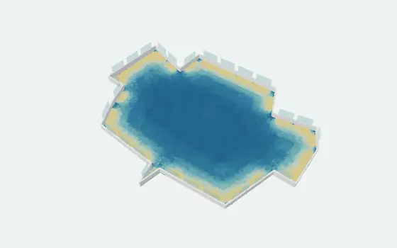
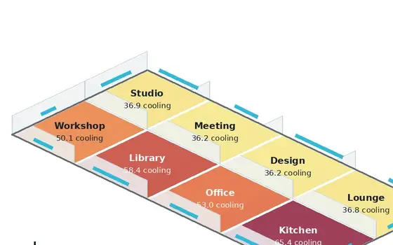
RoomInterior daylightDaylight factor, floor by floor.FacadeSun on every facadeRadiation on walls and roofs.DistrictHeat across a districtStreet by street, at 1 m.TerritoryA whole territory65 × 49 km, in tiles, merged.
The same buildings, trees and weather go in. Choose the question:
wind, comfort, heat and cold, sun, daylight or energy.
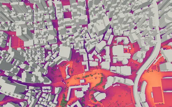
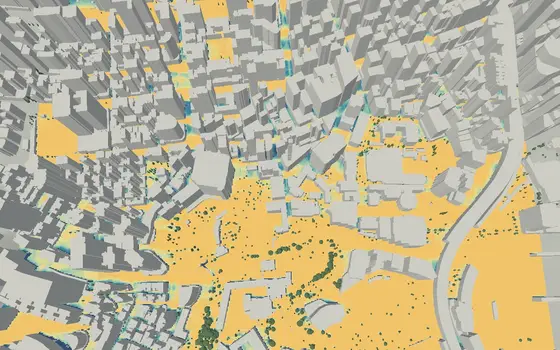
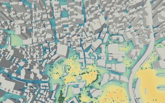
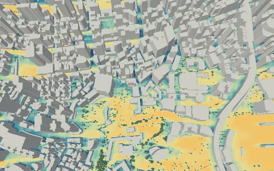
Wind speedm/s at pedestrian levelPedestrian wind comfortLawson, Davenport, NEN 8100Thermal comfortTime in UTCI comfortHeat stressHours above the UTCI thresholdCold stressHours below the UTCI thresholdMicroclimate (UTCI)Perceived heat (UTCI) in °CDaylight availabilityDirect-sun scoreSky view factorsVisible sky in %Direct sun hoursHours of sunSolar radiationkWh/m² on roofs and facadesInterior daylight factorDaylight in a roomEnergy balanceHeating and cooling need
The SDK guide counts ten analyses, not twelve: thermal comfort, heat stress and cold stress are three models here and one SDK analysis, thermal comfort statistics.
Large areas are split into tiles. The tiles run in parallel in our cloud
and come back as one grid. So 100 km² takes 37 s, not 100 times as long as
1 km².
When a result takes seconds, you can ask "what if we move the tower six
metres?" in the meeting and see the answer.
1 km²Vienna · 6,904 buildings · geometry already uploaded5 s
9 km²Vienna · 28,714 buildings24 s
100 km²Hamburg · 59,883 buildings37 s
400 km²Berlin · 318,856 buildings44 s
Perceived heat (UTCI) for one summer day, 08 to 18 h, on a 1 m grid, on our production cloud. 1 km²: geometry already uploaded, measured 24 Oct 2026 (first run with upload about 17 s). 9 to 400 km²: end to end, building data and upload included, measured 23 Oct 2026. Berlin ran as four 100 km² runs at the same time.
Tested against Radiance, EnergyPlus, field instruments at four sites, and CFD. See the validation