
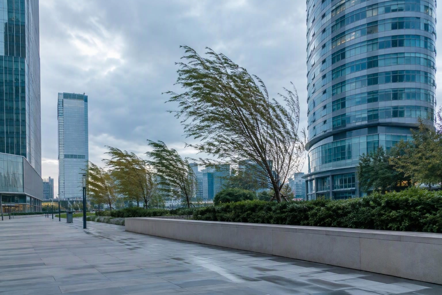
Paint systems under test
The Foundation for Polish Science lists a project developing polymer pressure-sensitive paint systems for high-rise building tests. The project tests the paints on building models in a wind tunnel. It compares their results with traditional point-pressure sensors.
The aim is to map pressure distribution across building surfaces. The project links that work to predicting risks from adverse weather. It also names pedestrian wind comfort in urban areas as an intended application.
For a building design team, that scope raises a useful question: which evidence supports the building assessment, and which evidence supports decisions about the public space below?
Surface pressure and street-level comfort
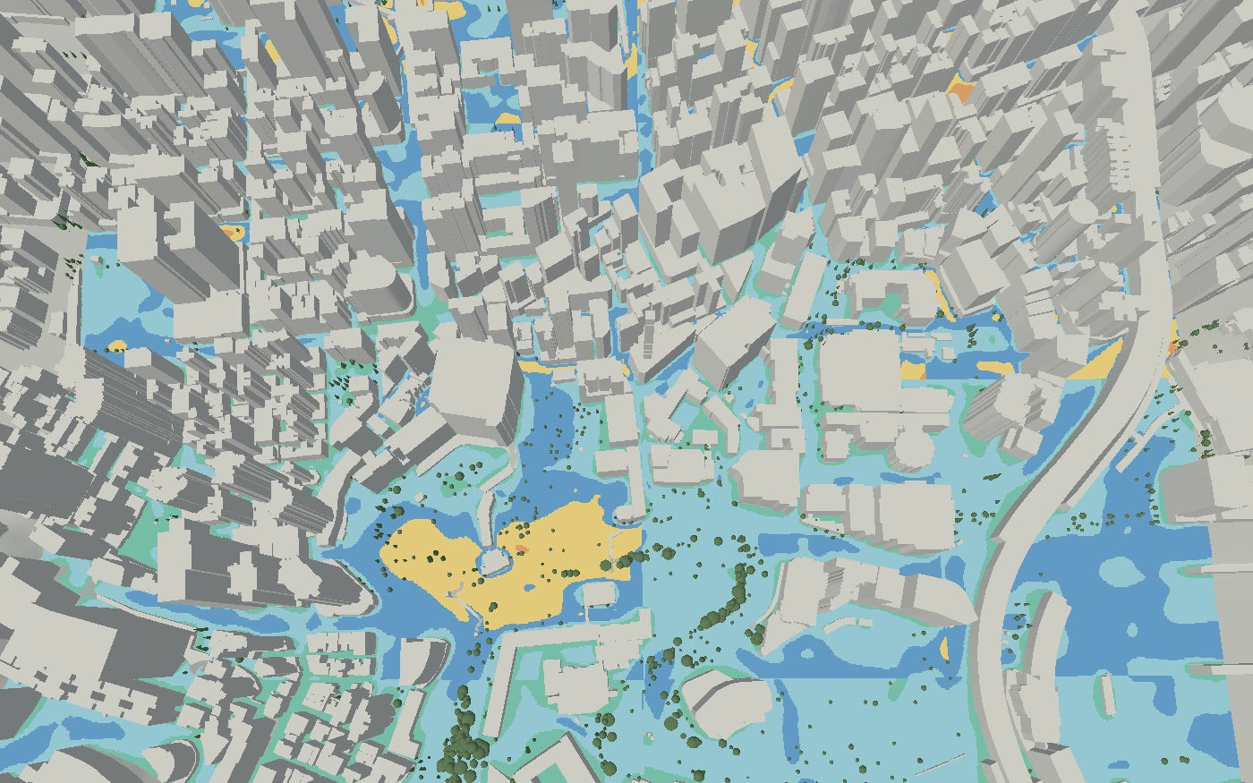
For the pedestrian part of that question, infrared.city offers a different output. Infrared Core computes wind comfort and safety classes on an outdoor ground grid. The simulation library describes the available wind analyses.
A team assessing a high-rise proposal could inspect the planned entrance, a waiting area and the routes across the site. The map would help the team compare each location with its intended use. It could support a choice between tower layouts or help identify places that need closer study.
This is a street-level screening task. The wind output is not a pressure map on the building envelope. Surface-pressure testing and pedestrian comfort simulation address distinct questions within the same proposal.
Compare the proposal before selecting a design
For this case, the useful comparison is between alternative building forms, not between paint and software. A design team could test a changed tower position or spacing between buildings. It could then inspect whether the pedestrian comfort classes change at the planned entrance and public routes.
The design comparison tools support that assessment while the geometry can still change. In the browser platform, teams can compare saved results on maps or in tables. Keeping the weather, period and analysis settings fixed gives the comparison a common basis.
Teams working on parametric tower options can also use the plugins to run simulations from Grasshopper. The decision remains specific: which building option gives the more suitable street-level conditions at the places people will use?
Sources
- Fundacja na rzecz Nauki Polskiej , accessed 31 Oct 2026.